
Broken Arrow Neighbors by Block
A public record can describe a piece of a Broken Arrow block, but no official neighborhood roster was located. Start with city geography, then use the applicable county parcel and land-record sources. A deed owner, assessor owner, mailing addressee, historical directory entry, and voter registration are separate record roles. Do not turn one of them into a conclusion about every person at an address.
| Source | What It Shows About a Block | Access |
|---|---|---|
| Broken Arrow GIS | Address points, parcels, city boundary, and zoning context | Public map viewer |
| County assessor | Property-index fields, including a parcel or owner route | Public Tulsa search or Wagoner county route |
| County Clerk | Recorded instruments and title context | County land-record access |
| Oklahoma Voter Portal | Individual registration details when required identifying fields are supplied | Individual lookup with privacy restrictions |
| Chamber directory | Private member businesses and civic contacts, not households | Public member-directory controls |
Broken Arrow crosses Tulsa and Wagoner counties. A postal city or neighborhood label cannot choose the right clerk, assessor, court, or election office. The GIS parcel and boundary check should lead every block search.
Broken Arrow Neighbor Map
The Broken Arrow GIS viewer combines municipal address points, parcels, and the city boundary. It provides Identify, Query, and Export Map operations, and its service maximum is 2,000 records. For an immediate block, select the address first and inspect only the adjacent parcel pattern rather than exporting a broad area.
The map also carries zoning information such as code, description, ordinance, zoning case number, document, purpose, and edit date. Zoning is useful location context. It is not proof of ownership or occupancy. Capture the visible parcel, boundary, layer name, and map update information with any research note.
For a Wagoner County parcel, the Wagoner GIS requires a username or email and password, states a July 15, 2026 data update, and includes a mapping-only disclaimer. Use it for location help; plats and deeds remain the authoritative county records.
Note: A city GIS result can locate a parcel, but it should be checked against the county assessor before a name or land-record search.
Map Broken Arrow Neighbors
Use a tight, repeatable process for the parcels nearest one address. The goal is an adjacent-parcel map and recorded-owner context, not a list of occupants. Broken Arrow’s county split makes the county check part of every step.
- Find the starting address in the Broken Arrow GIS viewer and note whether the parcel is in Tulsa or Wagoner County.
- Use Identify on the immediately adjoining parcels and record each parcel or account reference with the source date.
- Open the relevant assessor route: Tulsa County Assessor for Tulsa parcels or the Wagoner County property-records page for Wagoner parcels.
- When ownership needs confirmation, compare the legal description against the County Clerk’s recorded instrument.
- For a full named-street record trail, use the Broken Arrow street directory rather than expanding a block query without a reason.
A map pin or mailing field should be treated as a dated record attribute. It does not show who is present today, identify family relationships, or establish a private contact point.
Broken Arrow Parcel Owner Context
For a Tulsa parcel, the assessor accepts a broad address, account, subdivision, or owner term and lets results be filtered by column. Parcel cards can include an account number, situs and mailing address, owner name, parcel ID, land area, legal description, tax fields, and sales or deed rows. The office’s policy says its information may not be fully current and that it is not the legal ownership repository.
Confirm a title question through the Tulsa County Clerk or Tulsa Acclaim. Tulsa’s recorded-land name coverage is documented from 1928 forward, and legal-description searching is documented from 1987 forward. In Wagoner County, use the Wagoner County Clerk after routing the parcel. A recorded party may be linked to a transfer without showing residence at the address.
Broken Arrow Neighborhood Signals
Neighborhood label, subdivision, HOA, and civic organization should be separate fields. The city does not manage a complete homeowners-association roster. Some associations voluntarily provide communication information, but a documented HOA should be derived from title, closing material, covenants, association mail, or a verified public source. No official public neighborhood-association member list was located.
Public institutions can give block context without becoming neighbor records. The city’s historic-site material identifies Katy Depot, the Kentucky Colonel Hotel and museum site, White Church, and McHenry Cemetery as place anchors. Those names help describe a local area or historical era, not membership, occupancy, or ownership.
Note: A subdivision name is a geographic clue. It is not evidence that every parcel belongs to an association or that a household has joined one.
Broken Arrow Community Directory
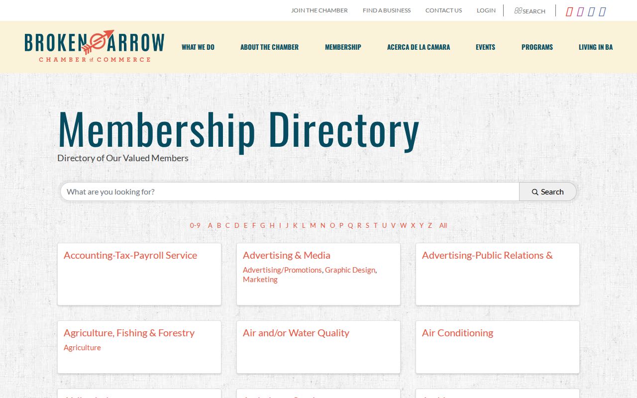
The Broken Arrow Chamber directory is a private membership index, not a government register or a resident list. Its controls include a “What are you looking for?” keyword field, categories, My ZIP Code, A-Z, and Search. Research observed 673 entries, a count that can change as the live membership directory changes.
| Public Directory Contact | Details |
|---|---|
| Broken Arrow Chamber | 421 W Washington, Suite 425, Broken Arrow; 918-893-2100. |
| Directory purpose | Private member businesses and categories, not a complete business census or household listing. |
| Search controls | Keyword, category, ZIP, A-Z, and Search. |
The Broken Arrow Chamber member-directory controls are shown in this capture.
A business address displayed by a chamber entry identifies an organization’s listed location on that date. It does not establish that an officer, owner, or member lives there.
Broken Arrow Neighbor Sources
Official systems and commercial neighbor tools have different purposes. The first can identify a custodian, parcel, or recorded document. The second may combine stale or mismatched material without explaining the underlying record role. Use a source that fits the question and preserve its access date.
| Source Category | Best Use | Limit |
|---|---|---|
| Official GIS and county records | Parcel location, county routing, and recorded-land context | Do not prove who occupies a parcel. |
| Official license directory | Identify a regulated organization or listed premises | A business listing is not a household record. |
| Private membership directory | Find a listed civic or business contact | Membership is voluntary and incomplete. |
| Commercial people-finding category | General discovery only | May be inaccurate, dated, or unclear about source roles. |
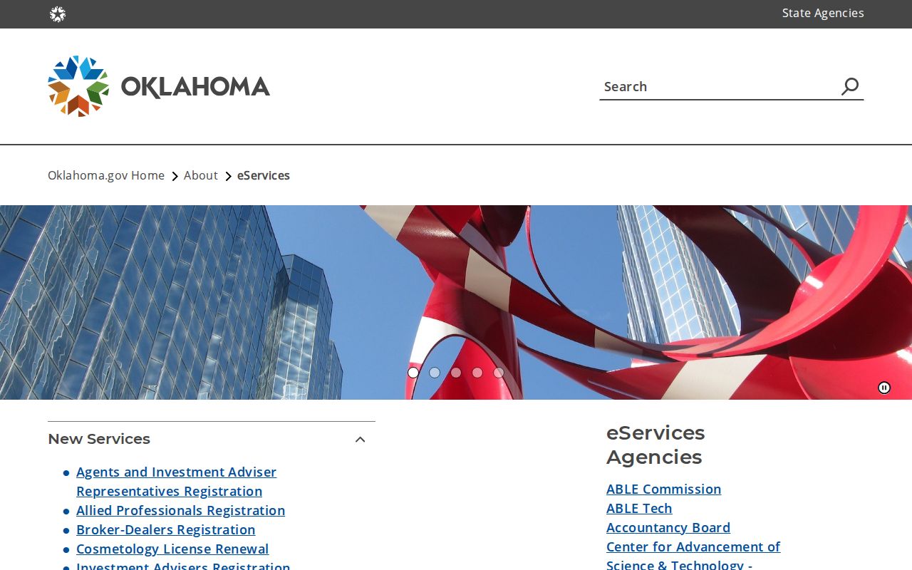
The Oklahoma eServices directory points to separate official regulated-license searches. Each agency has its own rules and fields. A license route can be useful for an institution near a block, but it should not be treated as a neighbor lookup.
The Oklahoma eServices collection is shown in this source capture.
Use the underlying agency result, its status date, and the listed address type when an official license search is relevant.
The Oklahoma Secretary of State corporation inquiry is a separate state entity route. Its form is dynamic and CAPTCHA-sensitive, so exact fields, required flags, result limits, and export controls were not reliably exposed during inspection. Treat a legal entity name, filing date, registered agent, or entity address as a source role, not as proof that a person lives at the listed location.
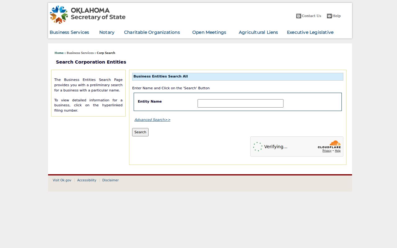
Use the state result as displayed and retain its access date. A corporation inquiry can identify an entity record, but it does not establish a household, a current business operation, or a person’s residence on the block.
Broken Arrow Neighbors Privacy
Voter registration and property information have distinct limits. The Oklahoma Voter Portal requires last name, first name, and date of birth for individual lookup. It can show registration, status, districts, sample ballot, and polling place. It is not a block roster, and the required identifying data should not be collected or republished.
Election data follows a separate path from parcel research. Voter history can take four to five weeks to appear after a statewide election, and a registration alone does not reveal an activity or method. Bulk files are not a neighborhood tool: the Election Data Warehouse uses an approved-account workflow, is organized by county and district, and carries acknowledgements restricting marketing and transfers. Do not publish a bulk extract, date of birth, voter ID, signature, protected address, or inferred voting method.
When a name is absent from an individual lookup, preserve the limit rather than trying to triangulate it from nearby parcels or business listings. Election privacy protections can apply to officials, judges, prosecutors, law enforcement, correctional staff, election staff, protective-order victims, spouses and dependents, and Address Confidentiality Program participants. A name may remain in a precinct record while its address is suppressed.
Protected voter addresses may be suppressed under the state’s voter privacy programs. The Oklahoma Address Confidentiality Program also supplies a substitute address and mail-forwarding service for eligible participants. A missing address can be a deliberate safety protection, not a defect to solve.
Note: Keep any voter, parcel, or community result at the minimum detail needed for its stated source and purpose.
Broken Arrow Neighbor Context
Citywide numbers provide context for a block without turning the block into a resident list. The 2020 Census count for Broken Arrow was 113,540, and the 2024 estimate was 122,756, an 8.1 percent increase from the 2020 base. Those are citywide figures. They cannot identify the people on a particular street, assign a population to an HOA, or resolve a parcel’s county.
Growth also makes address matching more important. An early Ledger notice, a 1905 Sanborn footprint, a 1970s aerial image, and a current parcel card may describe different buildings or street formats at a similar location. Original-townsite, Rose District, New Orleans Square, and newer southern or eastern corridors are useful historical labels, but a specific subdivision should be confirmed through parcel and legal records.
Use a citywide number as a date-stamped backdrop only. The adjacent-parcel workflow remains the right tool for a neighbor question because it preserves the address, county, source authority, and record role.
Broken Arrow Public Safety Systems
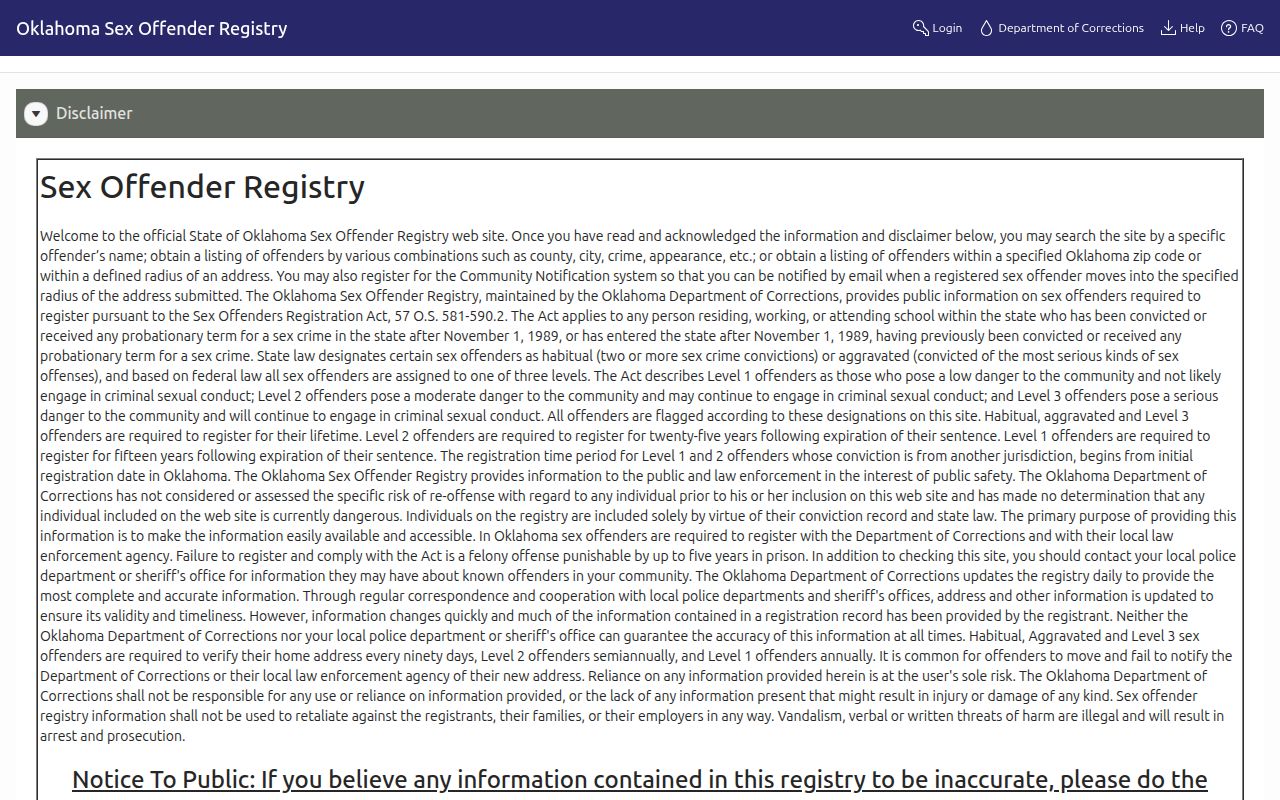
State custody information and the sex-offender registry are separate official systems. They are not neighbor directories, and a name match does not prove an identity, current address, status, or connection to a particular block. Preserve the agency scope, disclaimer, search date, and matching fields if an authorized safety question requires either source.
The Oklahoma Sex Offender Registry presents its own access disclaimer and must be read on its stated terms.
Registry material requires careful identity confirmation and should never be used to assign character or make claims about a household.
Oklahoma Department of Corrections offender information is a distinct custody and offender-information route.
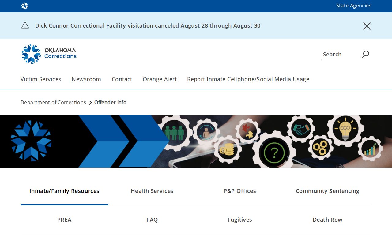
A DOC result has its own agency scope and does not replace a registry record, court record, or local parcel verification.
Broken Arrow has no public city-jail name roster in the official material located during research. The Broken Arrow City Jail page supplies facility, contact, visitation, and mail information, but it is not a current-custody lookup. A court docket, an incident request, a city facility inquiry, a DOC listing, and a registry entry each have different custodians, status dates, and release rules.
For a block question, use the narrowest official source that answers it. Preserve a case number or agency result only when necessary, and do not combine different public-safety systems into a profile of a neighbor. An unavailable result can reflect an access rule, a protected record, an index gap, or a mismatched name.