
Broken Arrow Previous Residents Sources
A backward address search crosses several custodians. Broken Arrow is split between Tulsa and Wagoner counties, so the city GIS and parcel record come first. The County Clerk is the source for recorded land instruments. Assessors, directories, and newspapers are valuable indexes and context, but they do not replace the recorded chain of title.
| Source | Years It Covers | Where Held | What It Shows |
|---|---|---|---|
| Tulsa Acclaim name index | 1928-current | Tulsa County land records | Recorded-name route for a deed search. |
| Tulsa Acclaim legal description | 1987-current | Tulsa County land records | Land-description route for later indexed instruments. |
| Broken Arrow Ledger | Early 1904-1906 run; later 1925-1979 holdings | Gateway and library holdings | Dated notices, social items, advertising, and local news. |
| Sanborn map | March 1905 | Library of Congress | Two-sheet snapshot of buildings, materials, use, and street names. |
| Aerial maps | 1950s, 1960s, and 1970s holdings | Tulsa Library Research Center | Visual comparison of a block over time. |
Use one source at a time, then record its date and role. A recorded owner, tax-roll addressee, historical directory entry, and obituary reference should never be collapsed into a single claim about who lived at the address.
Broken Arrow Address Translation
Older records often need a street-name crosswalk before a chain can be found. Broken Arrow adopted its current street-numbering system in 1973, although parts of the system date back to 1948. The original downtown grid used lettered avenues. E Avenue became Broadway, and 2nd Street became Main.
Keep both spellings in a research note instead of silently replacing the older form. The Broken Arrow street-name history also documents former names such as Avenue D for College and Avenue F for Commercial before the 1910 College Addition. Numbered and county-style road names can create another mismatch outside the original grid.
| Research Field | What to Preserve |
|---|---|
| Original street string | Exactly as written in the older record. |
| Normalized address | The current form used for GIS and assessor searching. |
| Source year | The directory, map, instrument, or notice date. |
| Evidence and county | GIS, parcel, map, or deed support plus Tulsa or Wagoner routing. |
Note: An old and new street label may describe the same corridor, but a parcel and dated map should confirm the match.
Trace Broken Arrow Previous Residents
A deed trail begins from the current parcel and moves backward instrument by instrument. It is strongest when each link retains the legal description, recording date, and county. The workflow below separates title research from the historical household layer that comes afterward.
- Normalize the address, check the Broken Arrow GIS viewer, and establish the parcel’s county.
- Use the applicable assessor index to collect the account or parcel number and the legal description.
- Search the County Clerk’s land index by legal description, parcel, and then grantor or grantee name.
- Open the later instrument, identify the earlier transfer named in the chain, and repeat the search backward.
- Compare dates and legal descriptions before adding a historical directory, newspaper, or map to the address timeline.
Title research can reveal recorded parties, not continuous occupancy. After a dated ownership link is established, use the Broken Arrow city directory collections for the historical household layer.
Tulsa Chain of Title
For a Tulsa County parcel, the Tulsa County Assessor accepts one broad address, account, subdivision, or owner term. Its account card can supply a parcel ID and legal description, but the office states that it is not the legal repository of ownership and its information may not be fully current.
Move from that index to Tulsa Acclaim or the Tulsa County Clerk. The Acclaim parcel form documents parcel number, document type, and date controls. The broader landing page lists name, document number, book and page, record date, consideration, subdivision or condo, legal-description, parcel, case number, and alpha-index routes. Images can have separate registration or paid-path conditions.
The Tulsa County Clerk recorded-land route is shown in this source capture.
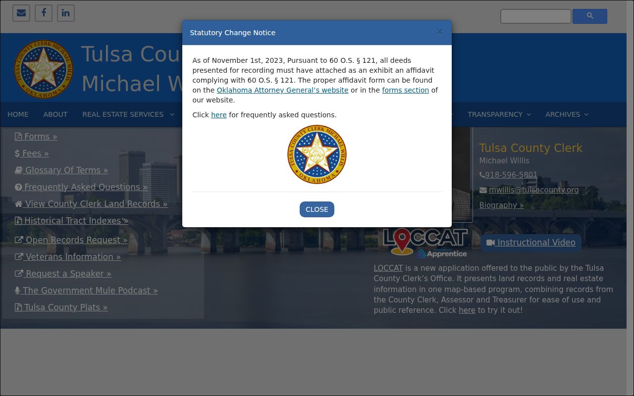
For older Tulsa material, historical-camera access and images have separate conditions. Preserve the search date and whether the result is index-only or includes a document image.
Wagoner Previous Residents Records
For eastern or southern Broken Arrow parcels, use the county route established by GIS and then the Wagoner County Clerk. The Clerk identifies land records as the county’s official recorded documents. The related property-records page directs visitors to county property resources, while the recorded instrument remains the title source.
Wagoner County’s Clerk page also promotes Eagle Fraud Guard email alerts. It warns about a solicitation charging $86 for a deed copy and states that a county certified copy costs $2 per page. An alert can flag a filing, but it does not authenticate a caller, certify title, or establish who is at the parcel.
The Wagoner County Clerk recorded-land authority is captured here.
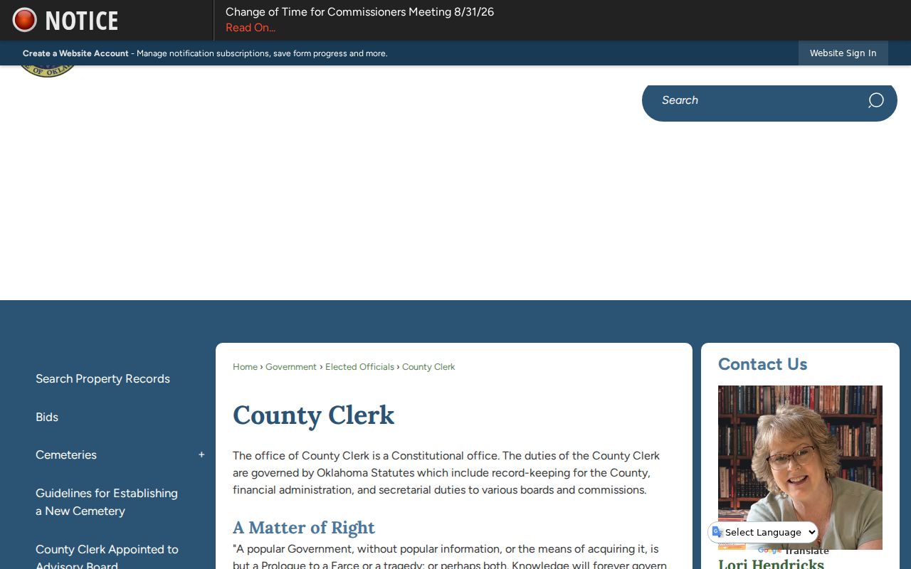
When a portal does not expose enough detail, contact the clerk for current filing, copy, and access instructions rather than guessing from an incomplete screen.
Broken Arrow Deed Terms
Recorded-land terms are compact, but their meanings matter when checking a past address. The same surname can appear in several roles, and the legal description is often the reliable bridge between instruments that use different street forms.
- Grantor
- The party transferring an interest in a recorded instrument.
- Grantee
- The party receiving an interest in that instrument.
- Chain of title
- The sequence of recorded transfers associated with the same land.
- Legal description
- The lot, block, subdivision, or survey description used to identify land beyond a mailing address.
An assessor account can help find those fields, but it does not override a conflicting recorded instrument. Keep the parcel ID, legal description, instrument date, parties, and source URL together for every link in the chain.
Broken Arrow Past Households
Once an address has a dated parcel trail, historical sources can place a household in time. Search a name and address across the Broken Arrow Ledger, Tulsa newspapers, library obituary indexes, and Oklahoma Historical Society holdings. Search both old and current street forms, abbreviations, spouse names, organizations, subdivision names, and legal-description fragments.
Pair each household lead with the nearest available census context, but keep the source role visible. Tulsa Library resources identify a published 1910 federal census for Broken Arrow, Tulsa, and adjoining townships, along with Ledger microfilm, cemetery material, genealogy CDs, and local society leads. A historical directory can organize a person by name, address, spouse, or occupation; a census publication reflects a different date and collection method. Neither fills the years between two documents, and neither replaces a County Clerk instrument.
The Oklahoma Historical Society holds city directories, phone books, census indexes, newspapers, family histories, and more than 90,000 bound volumes in its Research Center. Its materials are non-circulating, and vault relocation can affect current access. The library’s 1920 Polk-Hoffhine directory example helps decode regional conventions such as spouse names in parentheses and residence, room, or board markers, but it is Tulsa regional evidence rather than a claimed Broken Arrow entry. Use onsite holdings and catalog confirmation before assigning a source to one address.
The Broken Arrow Ledger at Gateway holds 106 issues and 867 pages from its early run, with online examples from 1904 through 1906. Later title material includes 1925 through 1979 holdings and a limited 1960 digital run. It is not a complete continuous archive. Record the issue date and page, and distinguish a legal notice from an advertisement, social item, obituary, or news story.
The March 1905 Broken Arrow Sanborn map supplies a two-sheet snapshot of building footprints, materials, use, and named streets. No official 1910 or 1920 Broken Arrow Sanborn map was located. A map can show that a structure existed by a date, not that a named person occupied it continuously.
Note: A gap between a deed, map, directory, or newspaper is normal and should be recorded rather than filled by inference.
Broken Arrow House History
The Oklahoma Historical Society home-history guide recommends a sequence that matches Broken Arrow’s two-county setting: search the assessor by name or address, record the subdivision, legal description, block, and lot, then check earlier owners with the County Clerk. Directories, newspapers, Sanborn maps, and address or name combinations come after that core parcel work.
The guide warns that previous-owner lists can be incomplete and asks researchers to spell out numbered streets and directions. Tulsa Library also holds 1950s and 1960s USGS maps and 1970s aerial material, including Ace Aerial coverage of the Broken Arrow area. Those images help compare the physical block but do not establish recorded title.
A public-record request can help when an office holds a nonconfidential record that is not in an online index. The Tulsa County open-records form requests a department, record description, and related details. State access is governed by 51 O.S. §§24A.1-24A.31, and a specific request should name the county, parcel or instrument, date range, format, and fee limit.
The Tulsa County open-records request route is illustrated in this capture.
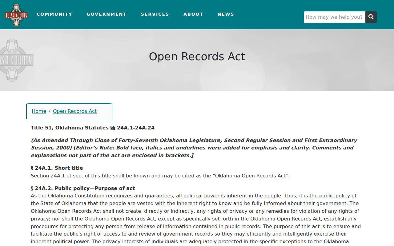
A request may result in a record, a redacted record, or a written explanation that no responsive record was found. Retain that reply with the address timeline.
Broken Arrow Previous Residents Limits
Not every missing name is an error. The Oklahoma Address Confidentiality Program provides a substitute address and mail forwarding for eligible participants, and protected information must not be reverse-engineered. The program is administered through certified assistants for eligible survivors and qualifying co-residents.
The Oklahoma Address Confidentiality Program describes that protected-address route.
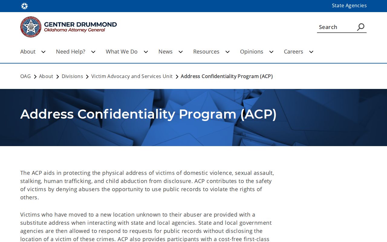
For authorized historical research, label the source role and date rather than declaring a person to be a former occupant. Oklahoma Title 21 §1173 addresses stalking, and repeated following or harassment that causes fear has criminal consequences.
Some gaps come from the record itself. Indian Territory’s 30 judicial recording districts were not generally preserved as a complete body, and the earliest land records in Oklahoma state counties begin around November 1907. Federal homesteader tract books are available on microfilm by township and range, not as original county deeds. A credible address trail identifies that limit instead of inventing a missing transfer.