
Broken Arrow ZIP Code Coverage
Four postal ZIPs are associated with the Broken Arrow postal city. They are a useful filing label, not a substitute for parcel research. The same city can lead to Tulsa County records on one side of town and Wagoner County records on another. For an exact delivery assignment, use the live USPS ZIP Lookup with the complete street address.
| ZIP | Areas Covered | Post Office | Notes |
|---|---|---|---|
| 74011 | Broken Arrow postal area, primarily Tulsa County | Broken Arrow postal city | Confirm the parcel and city limit. |
| 74012 | Broken Arrow postal area, including many older central and western addresses | Broken Arrow postal city | Primarily Tulsa County; verify the parcel. |
| 74013 | Southeastern and eastern postal area | Broken Arrow postal city | Confirm Tulsa or Wagoner County before a records search. |
| 74014 | Eastern and southern postal area | Broken Arrow postal city | Includes Wagoner County portions; confirm the boundary. |
A postal city can serve addresses outside the incorporated city. Keep three labels in research notes: postal city, municipal status, and county. That simple separation prevents a ZIP match from being mistaken for a legal boundary.
Broken Arrow ZIP Code Routing
Start at the Broken Arrow GIS viewer. Its address points, parcels, and city boundary help establish where an address sits. The viewer supports Identify, Query, and Export Map operations, with a 2,000-record maximum. A parcel near the east or south side of the city needs county confirmation even when its mailing line says Broken Arrow.
After the GIS check, use the parcel’s county rather than its ZIP. For Tulsa County, the Tulsa County Assessor is a current-property index. For Wagoner County, begin at the Wagoner County property-records page. Deed authority remains with the applicable County Clerk, not the postal service or the assessor.
Find a Broken Arrow ZIP
A ZIP narrows a search area, but names and parcels carry the record search forward. Use the full delivery address whenever possible. The following workflow keeps postal information separate from ownership and other record roles.
- Enter the full address in the live USPS lookup and record the returned ZIP as a delivery detail.
- Search the Broken Arrow GIS viewer and save the parcel, visible city boundary, and county route.
- Open the relevant assessor record to collect the account number and legal description.
- Use that legal description or owner name with the proper County Clerk when a recorded-land question remains.
- Move to the Broken Arrow street directory only after the ZIP has narrowed the work to a particular street.
An assessor name can be a useful index entry, but it is not proof of occupancy. A recorded instrument, mailing field, historical directory entry, and voter registration each describe different roles and dates.
Note: Retain the lookup date because USPS delivery assignments, parcels, and city boundaries can change over time.
Broken Arrow ZIP Code Search Fields
The Tulsa Assessor does not document a ZIP filter. Its one broad search field is still useful once a ZIP and parcel check have identified the Tulsa County side of Broken Arrow. Search less specifically first, then filter results rather than assuming a postal area is a property-record field.
| Field or Control | How It Works |
|---|---|
| Search text | Accepts an address, account, subdivision, or owner term. |
| All filter | Runs the broad search across the available property index. |
| Column filtering | Helps narrow the returned results after a search. |
| Clear | Resets the search before trying another spelling or address form. |
The assessor advises broad terms and avoiding periods, commas, and apostrophes. Its information can lag recorded title. For a Tulsa deed trail, use Tulsa Acclaim land records; name searching is documented from 1928 forward and legal-description searching from 1987 forward.
Wagoner Records After a ZIP
Eastern and southern Broken Arrow routes can lead to Wagoner County. The county’s Spatialest property portal is linked from the official property-records page, but its search controls were not exposed during the research inspection. Treat it as a starting point, then confirm title with the Wagoner County Clerk.
The Wagoner property portal is shown below as captured for the postal-routing process.
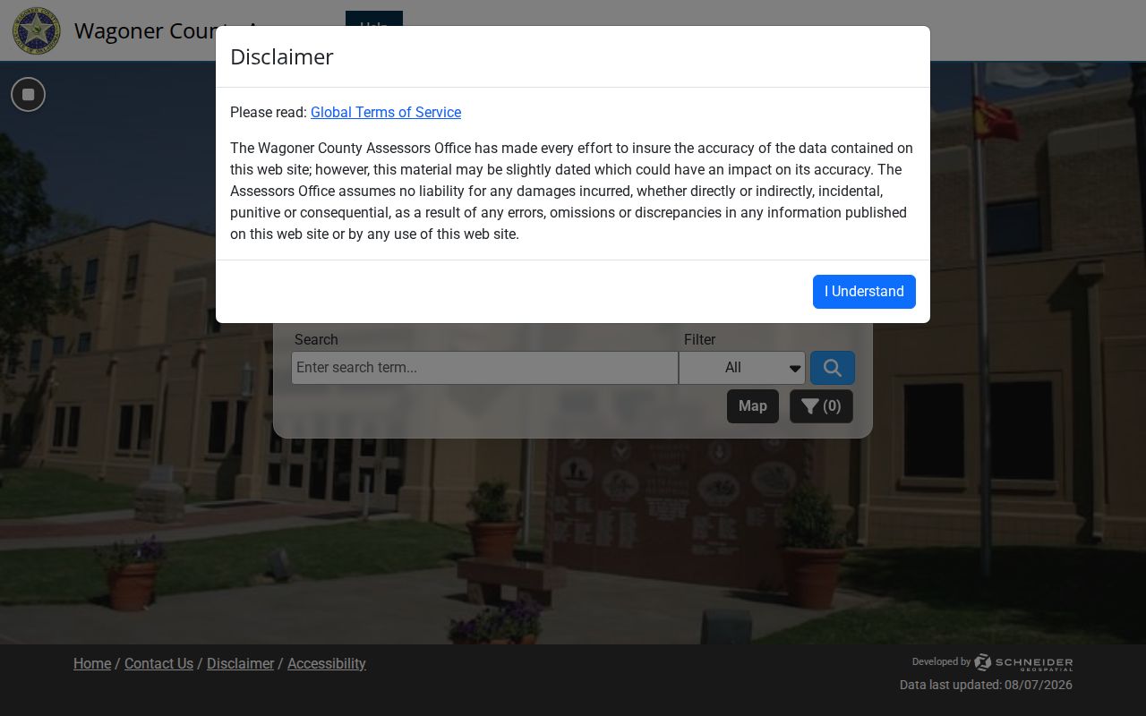
The image documents the portal route, not a ZIP-specific search result. Record the county, parcel, date, and source role before treating an owner or mailing field as meaningful.
Note: Wagoner’s public landing page did not expose its fields during automated inspection, so a missing online result should be logged as an access gap.
Broken Arrow ZIP Code Boundaries
Postal outlines do not track municipal limits. The city’s maps and GIS are better starting points for city-limit questions, while a legal description or survey controls a boundary dispute. The city’s 2012 zoning-map book separates Tulsa County and Wagoner County sheets, which makes it useful when a street runs through an uncertain county area.
The Wagoner GIS can help with mapping after a county route is known. It requires a username or email and password, states that its data was updated July 15, 2026, and carries a mapping-only disclaimer. Plats and deeds remain the authoritative county records.
The Wagoner GIS login route appears in this source capture.
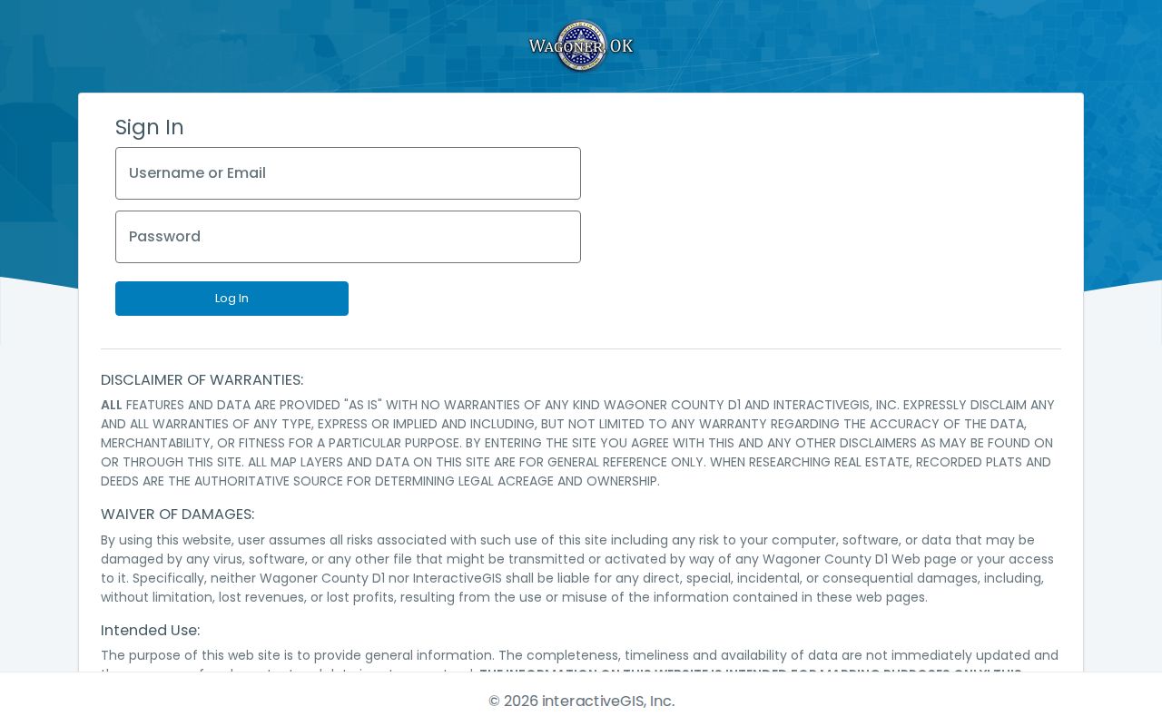
Use a map layer to locate a parcel, not to replace the recorded plat or deed. The distinction matters most where a Broken Arrow postal city crosses the county line.
Broken Arrow ZIP Code Terms
Postal terms describe delivery organization. They should not be used as labels for ownership, residency, or municipal jurisdiction. Keeping the terms distinct makes a Broken Arrow address easier to compare across county records and older documents.
- ZIP
- A five-digit postal delivery area assigned to an address by USPS.
- ZIP+4
- An added four-digit delivery detail that refines the five-digit ZIP for sorting.
- PO Box ZIP
- A ZIP used for post-office boxes, which can differ from a street-delivery assignment.
- Carrier route
- A postal delivery grouping used for mail handling, not a city or county boundary.
Broken Arrow’s street history adds another layer. The city adopted its current numbering system in 1973, and older sources may use E Avenue for Broadway or 2nd Street for Main. The city street-name history helps retain both forms when an old record and a modern postal address disagree.
The city’s composite geocoder also brings together EnerGov address points, street-centerline data, and parcel addresses through a principal SingleLine field. Use its suggestion and place-finding behavior to identify a likely location, then confirm the returned parcel with the county assessor. That second check is necessary because an older form, a numbered road, and a current postal street line can describe the same corridor in different ways. Record both the original string and the normalized form, rather than forcing an older source into a current ZIP label.
Major north-south names can also appear as city streets and county-style numbers, including Aspen and 145th East, Elm and 161st East, or Lynn Lane and 177th East. The postal line helps find an address, but the city GIS and county parcel are the evidence for routing the records search.
Broken Arrow ZIP Code Data Limits
No official ZIP-level population, registration, or reallocation series was located for Broken Arrow. Do not fill that gap with citywide figures. Oklahoma election bulk files are organized by county and district, not ZIP, so they cannot supply a reliable postal-area resident count.
The Oklahoma Election Data Warehouse illustrates the separate statewide data route. Its request process uses approved accounts and county or district files, with nightly updates and a one-year access period. Protected addresses and other restricted fields remain subject to election privacy rules.
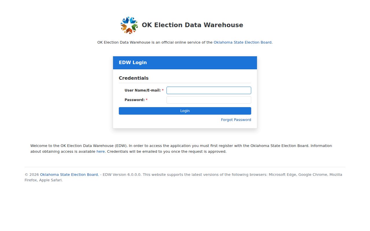
County and district data can support a civic records question, but it does not turn a ZIP into a household list. Use the individual Oklahoma Voter Portal only with the required name and date-of-birth information, and do not attempt to reconstruct a suppressed address.
Broken Arrow Postal Numbers
The four listed postal ZIPs are a compact example of Broken Arrow’s larger geography. The city spans Tulsa and Wagoner counties, while its postal city can serve addresses beyond municipal limits. That is why a clean record note names the delivery ZIP, city status, county, parcel number, source date, and record role separately.
For a request under the Oklahoma Open Records Act, cite 51 O.S. §§24A.1-24A.31 and identify the proper custodian, record type, date range, address or parcel, and preferred format. A ZIP alone is usually too broad to retrieve a reliable county record.
Note: ZIP-level official counts were not located, so the postal list should remain a routing tool rather than a demographic profile.
Broken Arrow ZIP Code Numbers
The available numbers are citywide, not postal-area totals. Census QuickFacts reports 113,540 people in the 2020 Census and a 2024 estimate of 122,756 for Broken Arrow, with an 8.1 percent increase from the 2020 base. Those figures help explain why an old address, a new arterial corridor, and a current parcel card may describe different stages of the city, but they cannot be assigned to 74011, 74012, 74013, or 74014.
For a ZIP code directory, that distinction is practical. A postal code helps test an address and sort mail. It does not divide the city’s Census count, locate a county line, prove incorporation, or establish a record role. Pair the ZIP with a source date and parcel route before comparing any current index with an older address, street name, or map sheet.
The city’s southeastern and eastern growth also makes a boundary check more useful than a ZIP-based assumption. A full street address can have a Broken Arrow postal city, a Wagoner County parcel, and an uncertain municipal status until the GIS boundary and county record are checked together.